Verify before you go. Details come from state agency records and may be out of date. Check local conditions, closures and fees with the managing agency before launching. Not for navigation.
Prairie Creek - Camps Canal Take Out Point (Potano Paddling Trail)
| Water body | Prarie Creek - Camp Canal |
|---|---|
| Water type | Freshwater |
| County | Alachua |
| City | Micanopy |
| Address / directions | SE County Road 234 |
| Ramp type | Hand Launch Only |
| Amenities | No Accommodations for Accessibility |
| Fee | No |
| Parking | Not Paved - Grass/Loose Soil/Sand; vehicle spaces 5 |
| Hours | Daytime Use Only |
| Status | Open for Business |
| Owner / manager | Alachua County |
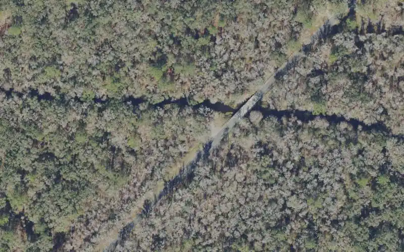
| Agency notes | Status comments: The site is located on the right of way for County Road 234, immediately adjacent to a restricted access service gate for Paynes Prairie Preserve State Park. Site is not maintained by the park. Operational comments: The site is located on the right of way for County Road 234, immediately adjacent to a restricted access service gate for Paynes Prairie Preserve State Park. Site is not maintained by the park. |
| Source ID | AL00001AA |
| Coordinates | 29.57609, -82.25004 · OpenStreetMap |
Map
Forecast
Loading forecast…
Source: National Weather Service (api.weather.gov), live.
Report a change Also tell the agency: corrections to the source data help everyone.
Reviews
No reviews yet.