Verify before you go. Details come from state agency records and may be out of date. Check local conditions, closures and fees with the managing agency before launching. Not for navigation.
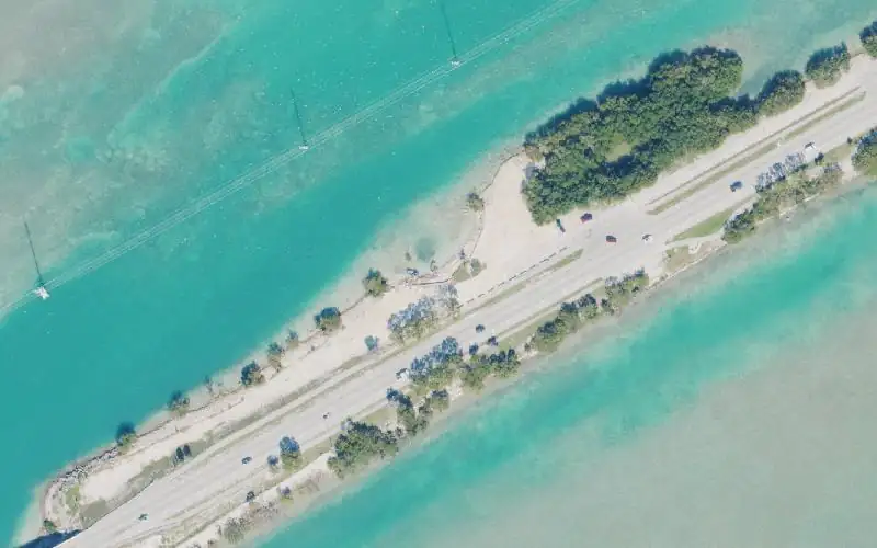
Indian Key Fill Public Boat Ramp (Primitive - For Smaller Boats) CLOSED FOR REPAIRS
Temporarily Closed
| Water body | Indian Key Channel - Florida Bay |
|---|---|
| Water type | Salt or Brackish Water |
| County | Monroe |
| City | Islamorada |
| Address / directions | Overseas Highway Mile Marker 79 |
| Ramp type | Stand Alone Ramp |
| Lanes | 1 |
| Amenities | Dock: No Docks; No Accommodations for Accessibility |
| Fee | No |
| Parking | Not Paved - Gravel/Limestone/Packed Soil; trailer spaces 14; vehicle spaces 0 |
| Hours | 24 hours |
| Status | Temporarily Closed |
| Owner / manager | Village of Islamorada |
| Source ID | MO70009NF |
| Coordinates | 24.88931, -80.67729 · OpenStreetMap |
Map
Forecast
Loading forecast…
Source: National Weather Service (api.weather.gov), live.
Marinas and boat fuel nearby
- Robbie's (marina) — 1.0 mi
- Bud n'Mary's Marina (marina) — 1.4 mi
- Bayside Marina (marina) — 3.0 mi
- Caribee Boat Sales & Marina (marina) — 3.2 mi
- Coral Bay Marina (marina) — 3.4 mi
Source: © OpenStreetMap contributors (ODbL). Not verified; call ahead.
Report a change Also tell the agency: corrections to the source data help everyone.
Reviews
No reviews yet.