Verify before you go. Details come from state agency records and may be out of date. Check local conditions, closures and fees with the managing agency before launching. Not for navigation.
Frank Nelson Park - Paddlecraft Access
Closed with No Further Information
| Water body | Posten Bayou |
|---|---|
| Water type | Salt or Brackish Water |
| County | Bay |
| City | Panama City |
| Address / directions | 4105 West 23rd Street |
| Ramp type | Hand Launch Only |
| Amenities | Restroom: No; Dock: No Dock; Unknown |
| Fee | No |
| Parking | Not Paved - Grass/Loose Soil/Sand |
| Hours | Daytime Use Only |
| Status | Closed with No Further Information |
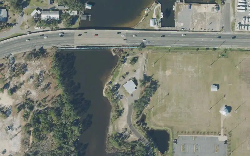
| Agency notes | Status comments: Not recommended for use. Launch has not been maintained. Shoreline vegetation has grown up and the shore has eroded creating a drop off. Launching at this location may be unsafe. Operational comments: Not recommended for use. Launch has not been maintained. Shoreline vegetation has grown up and the shore has eroded creating a drop off. Launching at this location may be unsafe. |
| Source ID | BY00005AA |
| Coordinates | 30.18941, -85.71613 · OpenStreetMap |
Map
Forecast
Loading forecast…
Source: National Weather Service (api.weather.gov), live.
Marinas and boat fuel nearby
- Historic Saint Andrews Marina (marina) — 1.6 mi
- Marina Landing Marina (marina) — 2.2 mi
- Bay Point Marina (marina) — 3.2 mi
- Lagoon Pontoons (marina) — 3.3 mi
- Lighthouse Marina (marina) — 3.4 mi
Source: © OpenStreetMap contributors (ODbL). Not verified; call ahead.
Report a change Also tell the agency: corrections to the source data help everyone.
Reviews
No reviews yet.