Verify before you go. Details come from state agency records and may be out of date. Check local conditions, closures and fees with the managing agency before launching. Not for navigation.
A-1 FEB Small Game Hunting Area Ramp #02
Closed - Under Transition
| Water body | A-1 Flow Equalization Basin (A-1 FEB) |
|---|---|
| Water type | Freshwater |
| County | Palm Beach |
| City | South Bay |
| Address / directions | U.S. Highway 27 at Mile Marker 60 |
| Ramp type | Hand Launch for Hunting |
| Lanes | 1 |
| Amenities | Dock: No Dock; No Accommodations for Accessibility |
| Fee | No |
| Parking | Not Paved - Gravel/Limestone/Packed Soil; vehicle spaces 4 |
| Hours | Refer to SFWMD website, FWC Hunting Regulations Brochure, or call FWC at (561) 625-5122. |
| Status | Closed - Under Transition |
| Owner / manager | South Florida Water Management District |
| Agency notes | Status comments: FWC Hunting Regulations can be found at: https://ocean.floridamarine.org/HGMSearch/BrochureDetails.aspx?srctype=pfs&title=a-1%20feb%20impoundment%20psgha
Due to construction work, the northern and western levees (including the two boat ramps on the western levee) will be closed to all public access until further notice. All boat ramps and parking areas on the eastern and northern part of the area will remain open to the public, but the designated entrance has been moved to the southeast corner of the area (mile marker 53). Trailers and Gas Motors Prohibited. Open to general public for fishing when not closed for hunting or construction activities. Special rules and seasons apply. Check with FWC & SFWMD for present status. Operational comments: FWC Hunting Regulations can be found at: https://ocean.floridamarine.org/HGMSearch/BrochureDetails.aspx?srctype=pfs&title=a-1%20feb%20impoundment%20psgha Due to construction work, the northern and western levees (including the two boat ramps on the we |
| Source ID | PB00020AA |
| Coordinates | 26.45722, -80.64003 · OpenStreetMap |
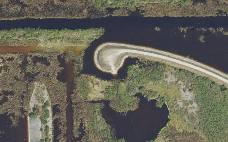
Map
Forecast
Loading forecast…
Source: National Weather Service (api.weather.gov), live.
Nearest water gauge
Hillsboro Canal At S-6 Near Shawano (USGS 02281200), about 12.0 mi away. It may be on a different water body.
Loading live readings…
Source: U.S. Geological Survey instantaneous values, live, provisional.
Report a change Also tell the agency: corrections to the source data help everyone.
Reviews
No reviews yet.